
Geo-spatial Component
Objective
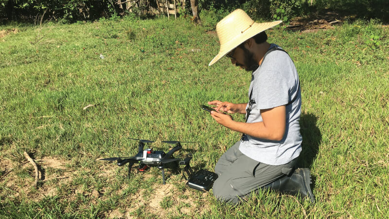
To assess environmental and vector behavioural factors in ongoing malaria transmission, larval aquatic habitats were mapped with drone footage and analysed, while and malaria cases were georeferenced.
Methodology
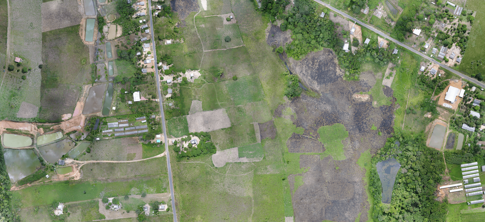
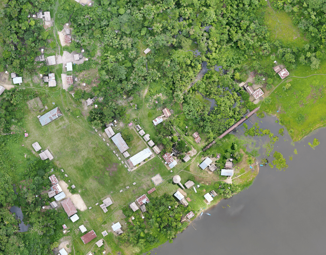
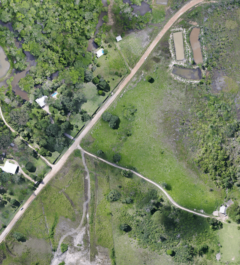
Drones and satellite data were used to create high-resolution maps of larval aquatic habitats.
Spatial distribution, physico-chemical and biological characterisation of water bodies located up to approximately one kilometre from each village were performed. Anopheles larvae were collected from permanent and temporary water bodies. The ecological and chemical compositions of Anopheles aquatic habitats were analysed.
All households and reported malaria cases were georeferenced, and maps were created.
.png)
Innovation in malaria research
Drones were used to take high-quality images of vector habitats during different seasons and in different areas where people work and live. This is a novel approach in malaria research; a journal article is expected to be published on this topic by the end of the year.
The large set of images produced by the drone camera allowed the researchers to construct maps with a spatial resolution of 0.1 metre per pixel. As mapping with drone footage is a relatively new methodology, some adjustments will be needed, such as improving photo aligning, specifically in some Peruvian sites.
Mapping water bodies
Conventional and multispectral images, showing both the biological and physio-chemical compositions of water bodies, were collected in Peru and Brazil. These images were used to identify and characterise the aquatic habitats of immature mosquitoes (larvae and pupae). The combination of both types of images will allow researchers to determine if there is a difference between the spectral signature of water bodies with and without An. darlingi larval aquatic habitats.
Data analysis of some results is still being conducted.